
VR surveying & geomatics lab at BITS Pilani, Hyderabad.
How iXRLabs helped BITS Pilani's Hyderabad campus augment its civil engineering geomatics lab - giving students hands-on practice with expensive surveying equipment and varied terrain, virtually.
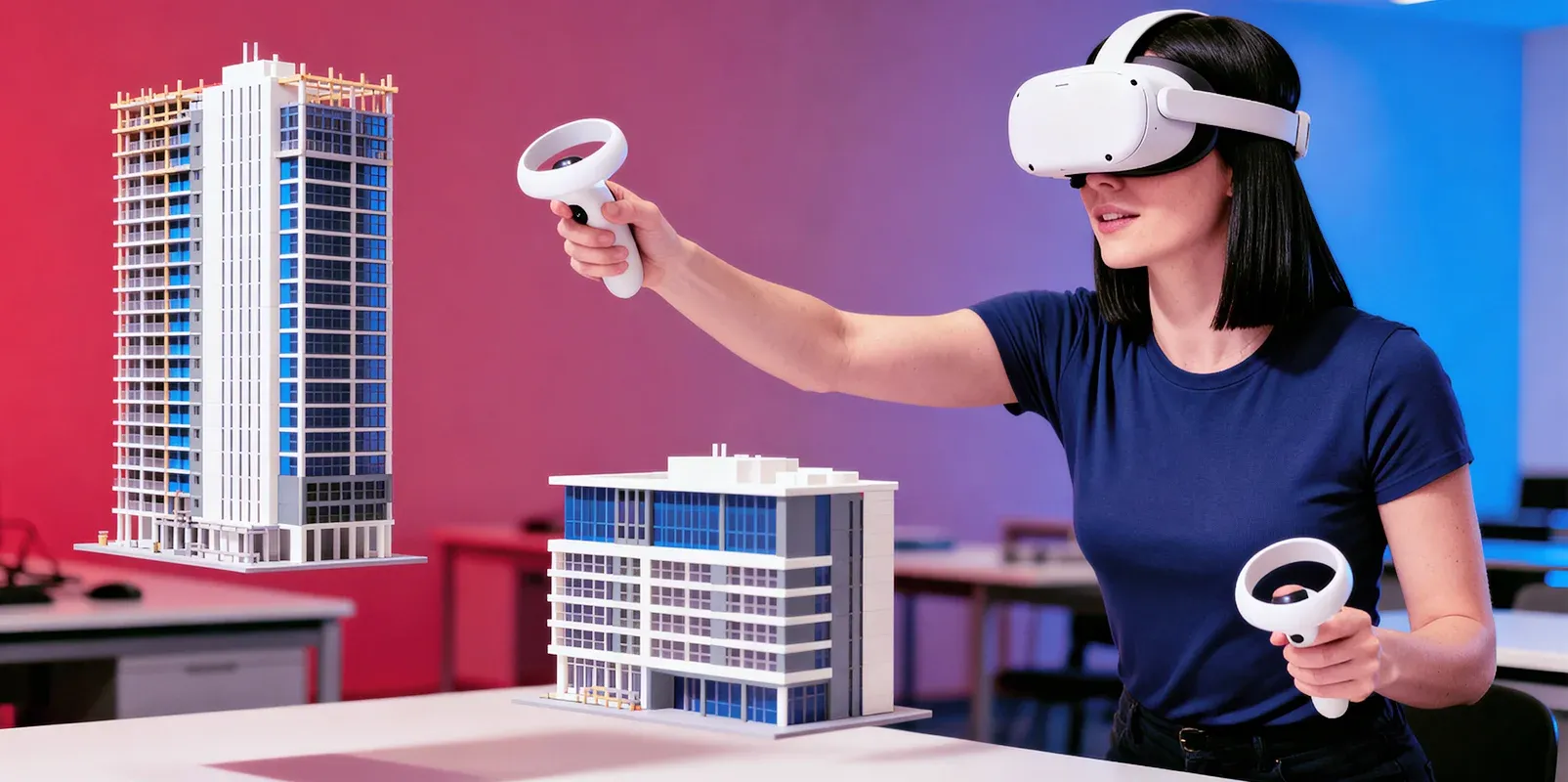
Hands-on surveying, without the constraints.
iXRLabs deployed VR surveying and geomatics modules at BITS Pilani's Hyderabad campus to augment its civil engineering geomatics lab. The modules give students hands-on experience with expensive surveying instruments - like the total station - and access to varied terrain that isn't available around campus, all without the cost, equipment queues, or limited lab time that constrain traditional surveying practicals.
Expensive instruments, limited time, limited terrain.
Surveying is a hands-on discipline, but practising it is hard to scale. Instruments like the total station are expensive and few, so students queue for limited time on shared equipment. Field practice is constrained by the terrain available around campus, and lab sessions are short - leaving students with limited repetitions on the exact techniques they are assessed on.
Costly, scarce instruments: a few total stations shared across a whole cohort.
Limited lab time: short sessions mean few repetitions on each technique.
Fixed terrain: field practice is limited to what's available around campus.
A full VR geomatics toolkit, practised on demand.
iXRLabs delivered VR surveying modules covering the full range of geomatics techniques, so students can practise on demand, as often as they need. Because the equipment and terrain are virtual, every student gets unlimited, hands-on repetitions with instruments that would otherwise be expensive and time-limited - across terrains they couldn't find around campus.
Instruments: total station surveying, auto level, dumpy level, theodolite survey, chain measurement survey, and plane table survey.
Techniques: contouring, area calculation, offset point marking, and more.
Unlimited repetition: every student practises the full workflow as often as needed, on varied terrain.
About BITS Pilani, Hyderabad Campus.
BITS Pilani (Birla Institute of Technology and Science, Pilani) is one of India's leading private deemed universities and was among the first institutions to be designated an Institution of Eminence by the Government of India. Its Hyderabad campus, established in 2008, is a fully residential 200-acre campus in Telangana serving over 6,000 students, with a Department of Civil Engineering where surveying and geomatics are core to the curriculum.
What the deployment delivered.
More students get hands-on surveying practice without adding physical equipment.
The total station and other instruments are available to every student, virtually.
Students practise each technique as often as needed, beyond limited lab time.
Contouring and area calculation across terrains not available around campus.
Expanded lab capacity More students get hands-on surveying practice without adding physical equipment.
Access to costly instruments The total station and other instruments are available to every student, virtually.
Unlimited repetitions Students practise each technique as often as needed, beyond limited lab time.
Varied terrain Contouring and area calculation across terrains not available around campus.
Scaling equipment-heavy lab work without scaling cost.
In surveying, skill comes from repetition on real instruments and varied terrain - exactly what is hardest to provide when equipment is expensive and lab time is short. BITS Pilani's deployment shows VR can remove those limits, giving every civil engineering student unlimited, hands-on practice with the full geomatics toolkit. It is a model for scaling practical, equipment-heavy lab work without scaling cost.
Scaling equipment-heavy lab work without scaling cost
Surveying is the archetype of an equipment-heavy discipline. Skill comes from repetition on real instruments across varied terrain, which is exactly what is hardest to provide when the instruments are expensive and few and the lab session is short. A department can buy a handful of total stations, but it cannot buy one per student, and it cannot manufacture the range of terrain that good contouring and area-calculation practice needs.
The BITS Pilani deployment addresses this by making the equipment and the terrain virtual. Every student gets unlimited, hands-on repetitions with instruments that would otherwise be time-limited, across terrains that do not exist around the Hyderabad campus. The physical instruments are freed for the observation practice that genuinely needs them, while foundational setup and technique are rehearsed in VR.
A complete geomatics toolkit
The deployment covers the core instruments of a geomatics curriculum rather than a single showcase device: total station surveying, auto level, dumpy level, theodolite survey, chain measurement survey and plane table survey. Around those instruments, students practise contouring, area calculation and offset point marking - the techniques on which they are actually assessed.
Breadth matters here because a surveying curriculum is not built around one instrument. Covering the whole toolkit means the VR modules support the course as a whole rather than supplementing one lab in isolation.
Why it matters for civil engineering education
In surveying, the constraint on learning has always been access - to instruments, to terrain and to time. The BITS Pilani deployment shows that VR can lift all three constraints at once, giving every civil engineering student the volume of hands-on practice that produces genuine competence. It is a model for any department trying to scale practical, equipment-heavy lab work without a matching increase in budget.
Preparing students for professional practice
Surveying competence is directly relevant to employability. Civil engineering graduates are expected to arrive able to operate modern survey instruments and interpret their output, and employers value hands-on fluency that a purely theoretical grounding cannot provide. By giving every student at BITS Pilani unlimited practice with the full geomatics toolkit - total station, levels, theodolite, chain and plane table - across varied terrain, the deployment builds exactly the practical readiness that professional practice demands, rather than the limited exposure that shared equipment and short lab sessions usually allow. It is the difference between a graduate who has read about a total station and one who can confidently pick one up and use it on the first day of a job.
About iXRLabs
iXRLabs is an AI-powered VR and XR lab platform for higher education, delivering immersive, hands-on lab modules across Engineering, Medical, Sciences and Nursing. The platform helps universities and colleges teach systems and equipment that are hard, expensive or unsafe to access in reality, with browser-based WebXR delivery, LMS integration, the 7thi AI tutor and built-in assessment - so immersive learning can reach a whole cohort, not just a single lab.
FAQ
Frequently asked questions.
What did iXRLabs deploy at BITS Pilani, Hyderabad?
Which surveying modules are included?
What problem do the VR surveying modules solve?
What surveying techniques can students practise?
Can iXRLabs XR labs support disciplines beyond civil engineering?
How can a university get started with iXRLabs VR labs?
Bring immersive VR to your college.
Start with a focused deployment mapped to your programmes and hardware - the way Coleg Gwent did at HiVE on HTC VIVE - then expand across subjects and facilities.